
Quick verdict
- What it is
- Store information collected; independent summary not yet available.
- At a glance
-
- $19.99
Categories and search queries
Official categories
- Navigation
- Travel
AppCorpus categories
Key functions
| Function | Availability | Access | Scope | Evidence |
|---|---|---|---|---|
| Family Sharing | Yes | Unknown | App Store | Store published |
Screens
App Store
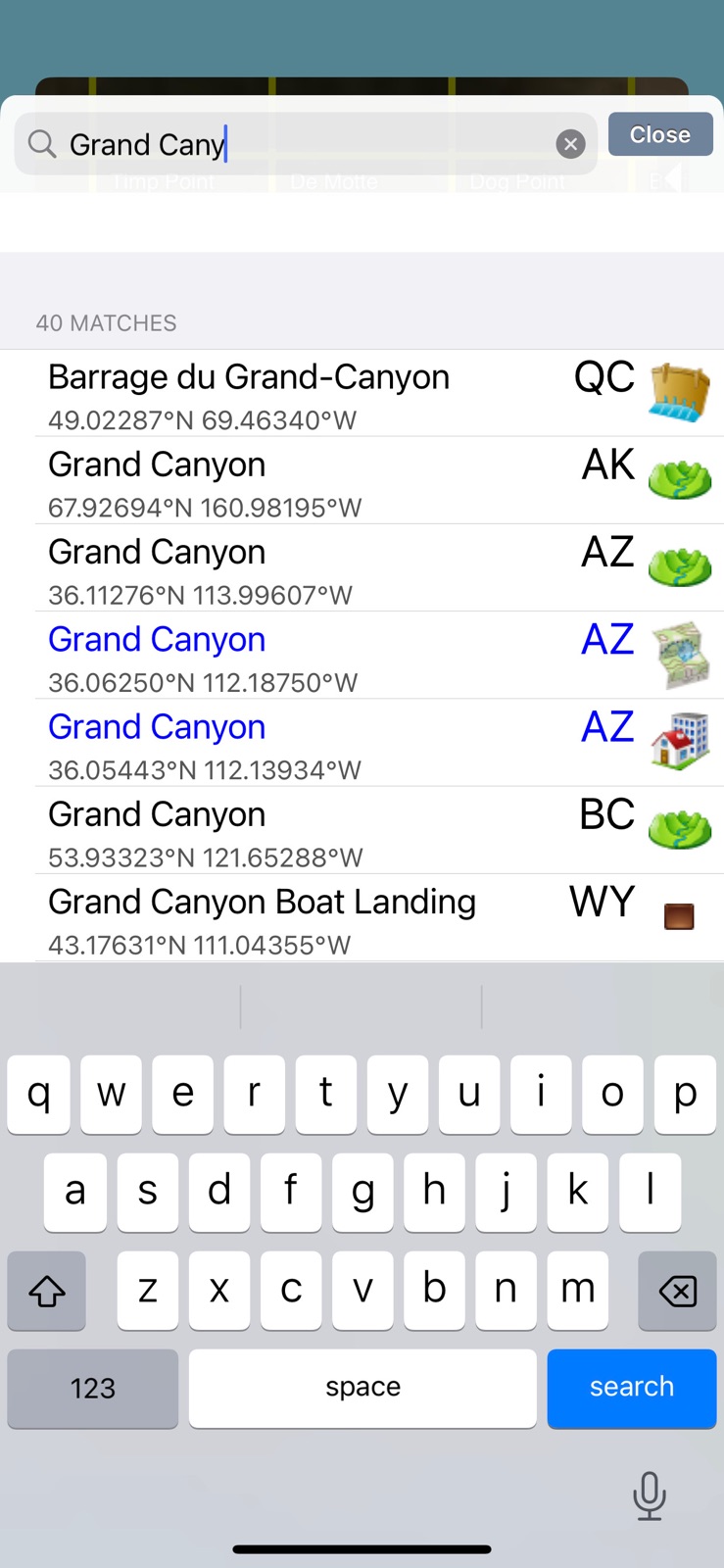
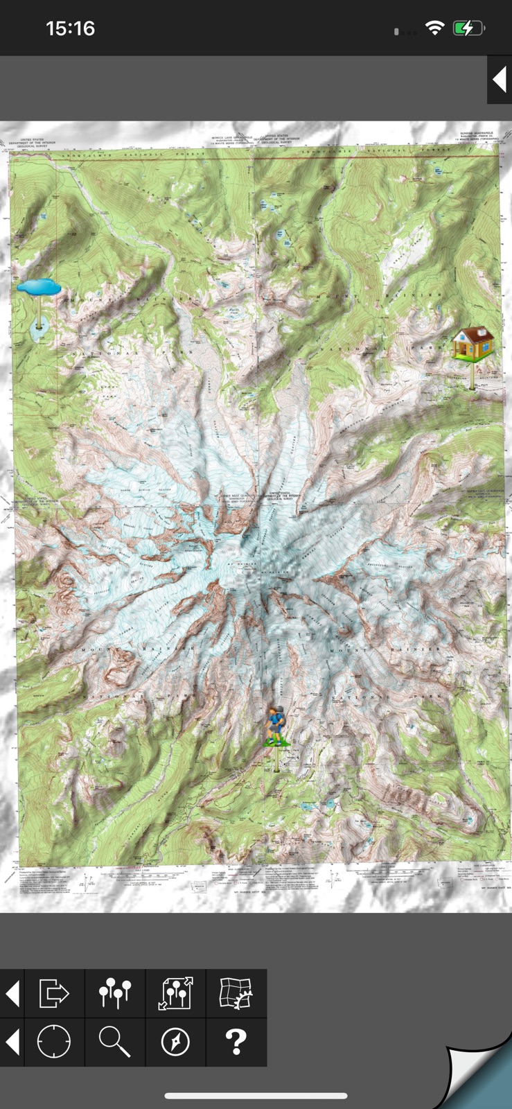
5 store screenshots


Pricing & paywalls
App Store
- Price: $19.99
Ratings & reviews
App Store
-
5/5Nothing Better for Exploring
I’ve been using these topo maps for years - pretty much everywhere I go I download the local area with these maps if I’m going to be out and about at all. Also, where I live I like to explore the back country, often overland with no trails or roads or on old two-track roads hours away from anywhere with cell service. These maps have been invaluable for offline use. I would say, however, that the most interesting use has been the fact that the old WGS84 took maps this app uses show a huge amount of things that modern maps omit. Old structures, mines, prospects, old roads, trails, and miscellaneous items that have been forgotten by all - including modern cartographers - are shown on these maps. A lot of these old things are still around, and are still visible even on satellite maps, but if you were only using modern (non-satellite) maps you would never know they were there many times. I love detail, and I hate how modern maps ignore so many different features that are in fact extant. These maps are perfect in ways so many other newer maps fail. A few things I wish it had though: 1. The ability to add kml files, including tracks and shapes etc. 2. A mode where the gps would still track but not force you to be centered on your position. The second tap just shows where you were when you tapped it the second time. 3. The ability to switch between a height map and the gps elevation. The app currently uses a hidden elevation map (the same thing it uses for the line of sight feature) to tell you your elevation, not the gps. There can often be pretty drastic differences between your actual elevation and the elevation it shows. I’ve seen these when I’m flying my plane a number of times. 4. All of the above without a subscription and add on features you have to pay for as well (like the new app).
Willitstimothy · 31 Jul 2026
-
5/5Issue w/ Downloading Maps is Fixed!
OCTOBER 2025: The issue with being unable to download new maps to my device has been fixed. when trying to download new maps, I would get an error message saying the map wasn’t available for download or something like that. I sent an email to the app developer last night, and six hours later he had responded and said the problem was fixed. And it really was! After all these years, this is still the best topographic map app out there for use in conjunction with hiking and exploring.
hoodrat91910 · 31 Jul 2026
-
5/5Best app for US topos
I live with topographic maps in the field both for work and recreation and after many years, I still find this the best app for accessing topo maps out there. The interface is clean, downloading maps is quick and fairly straightforward, I can upload text files of waypoints, I can mosaic maps. This app does not chew up battery as some do. The only downside is tied directly to the maps themselves, which are dated as USGS has bailed on true updates, instead turning out substandard GIS-based maps that, while more up to date on roads, are otherwise lacking. So long as the user knows the limits of these maps, there is no problem.
Cjones-CU · 31 Jul 2026
-
5/5My favorite app all time
I have owned this app since its launch and can honestly say it is my favorite app period. I am an avid backpacker and hiker and this app has allowed me to find some of the most amazing places in the wild. Maps must be downloaded while you an internet connection, but the gps usually works while out of service so you can locate your position on the topo. I love the ability to link maps together and zoom way in for detail. The map quality is identical to paper topos. I used this app while hiking the John Muir trail and it was great for checking my location and finding off trail lakes and campsites. The search feature works really well so you can find the map you need quickly, download and head out for your adventure. Can't believe this app isn't more popular as it is awesome.
Far out man · 31 Jul 2026
-
5/5This is the topo app for backcountry
I love this app. The map resolution and stitching are excellent. The maps are stored on your phone, so it works way out of data range. Each map is about the size of a standard photo, so you can download hundreds if you want. You see your position on the quad map, and you can drop waypoint pins at your current location or at other points without going there first. The only thing it doesn't do that my old Garmin does, is show your track. The compass link function lets you aim the whole map at a distant object to identify it. You can also switch the map to Google aerial photo of the same area, if you are in data range. I like the old '83 topo quad maps. You see old trails that aren't on newer maps. You wouldn't use this app for driving around town, because a lot of newer roads will be missing, but rarely a problem out in the woods. This app has almost completely replaced my old GPS. The tutorial is nice and clear.
Alaric45 · 31 Jul 2026
Privacy & accessibility
App Store
Privacy
- Data Not Linked to You — Analytics — Diagnostics — Crash Data Developer declared
- Data Not Linked to You — Analytics — Usage Data — Product Interaction Developer declared
- Data Not Linked to You — App Functionality — Usage Data — Product Interaction Developer declared
- Data Not Linked to You — Diagnostics Developer declared
- Data Not Linked to You — Usage Data Developer declared
Accessibility
No accessibility labels collected yet.
Versions
App Store
- 1.1
-
1.10
This is a minor update for compatibility with the Apple's latest hardware and software.
-
1.11
This is a minor update for improved display resolution on some devices, and to use the Google Maps app if it's installed in the "go to app" feature and enabled in this app's settings.
-
1.12.1
This version updates the app for the iOS 7 look-and-feel. It also makes it possible to import GPX and KML files from web pages, email attachments and similar sources. Please see the app's help screen or website for more details.
-
1.12.2
This is a minor update for improved compatibility.
-
1.13
This update improves support for iOS 8 and the iPhone 6 and 6+.
-
1.14
This is a bug-fix update to resolve problems with scrolling around the map, and with exporting files.
-
1.15
This is a further update for improved iOS 8 compatibility.
-
1.16
This update from Apple will improve the functionality of this app. No new features are included. This update is for compatibility with the iPhone 6s, along with various minor bug fixes. If you don't have an iPhone 6s there is not much to be gained by updating.
-
1.17
This is a minor update for compatibility with recent devices and iOS versions.
-
1.18
This is a minor update to fix bugs.
-
1.19
· 18 Apr 2023
This is a minor update to fix bugs.
- 1.2
- 1.2.2
- 1.3
- 1.3.1
-
1.4
This release adds optional hill shading to the maps. This 3D effect makes features like mountains and valleys stand out even when you're zoomed out. The simulated sun direction and strength can be adjusted. The same height data that's used for the hill shading is also used to display the APPROXIMATE altitude of the point at the center of the screen. It is also now possible to see latitude and longitude co-ordinates while viewing the satellite index map, and the user interface has been enhanced in a few places. If you are upgrading from a previous version, note that the altitude data needed for hill shading for your existing maps will be downloaded the first time that you view each map. You should therefore view each of your maps once while you have a network connection.
-
1.5
This version adds Canadian maps for the first time.
-
1.6
Quick Download mode: install a lower-resolution version of the map to check that you have the right area, or to get an overview, and later upgrade it to full resolution. Block Downloads: select multiple maps to download at once [touch a corner map until it is selected, then slide your finger to select more; lift your finger when they are all selected]. Plus other useful features.
-
1.7
✷ Waypoints: add waypoints to maps and import and export waypoint files. ✷ Search now includes 1.5 million features. ✷ New GPS symbol that keeps map centered on your location. ✷ Compute what should be visible from any viewpoint. ✷ Color maps according to height. ✷ Measure bearings in mils. ➽ Do visit topomapsapp.com for full details of all the changes.
-
1.8.1
This release fixes some bugs mainly related to waypoint downloading and the waypoint files screen.
-
1.8.2
This is a bug-fix update. The map grid for Alaska is repaired, a crash when visiting certain websites is resolved, and the black stripes at the edges of some maps are now trimmed when mosaicing.
-
1.8.7
This update resolves compatibility issues with the iPhone 4 and iOS 4.0.
-
1.9
This update adds support for the compass (iPad, iPhone 4 and iPhone 3GS running iOS 4 only), and improves the alignment of adjacent maps at different scales. It also makes map display faster on the iPhone 4 and fixes assorted minor bugs. A printable PDF version of the user guide is now available at http://topomapsapp.com/
-
1.9.2
This is a minor update for iCloud and iOS 5 compatibility. Please refer to http://topomapsapp.com/ or the app's help screen for more information.
Alternatives
- Topo GPS - Topographic maps — Same category + similar ratings
- Guru Maps - Offline Navigation — Same category + similar ratings
Availability by market
- US
Data quality & evidence
- Page completeness
- Live store listing
- Last verified
- 31 Jul 2026
- Sources
- App Store
- Independent summary has not been published yet.