
Quick verdict
- What it is
- Store information collected; independent summary not yet available.
- At a glance
-
- Free to download
- In-app purchases
Categories and search queries
Official categories
- Navigation
- Sports
- Travel
AppCorpus categories
Key functions
| Function | Availability | Access | Scope | Evidence |
|---|---|---|---|---|
| Free app | Yes | Free | — | Store published |
| In-app purchases | Yes | Limited free | — | Store published |
Screens
App Store
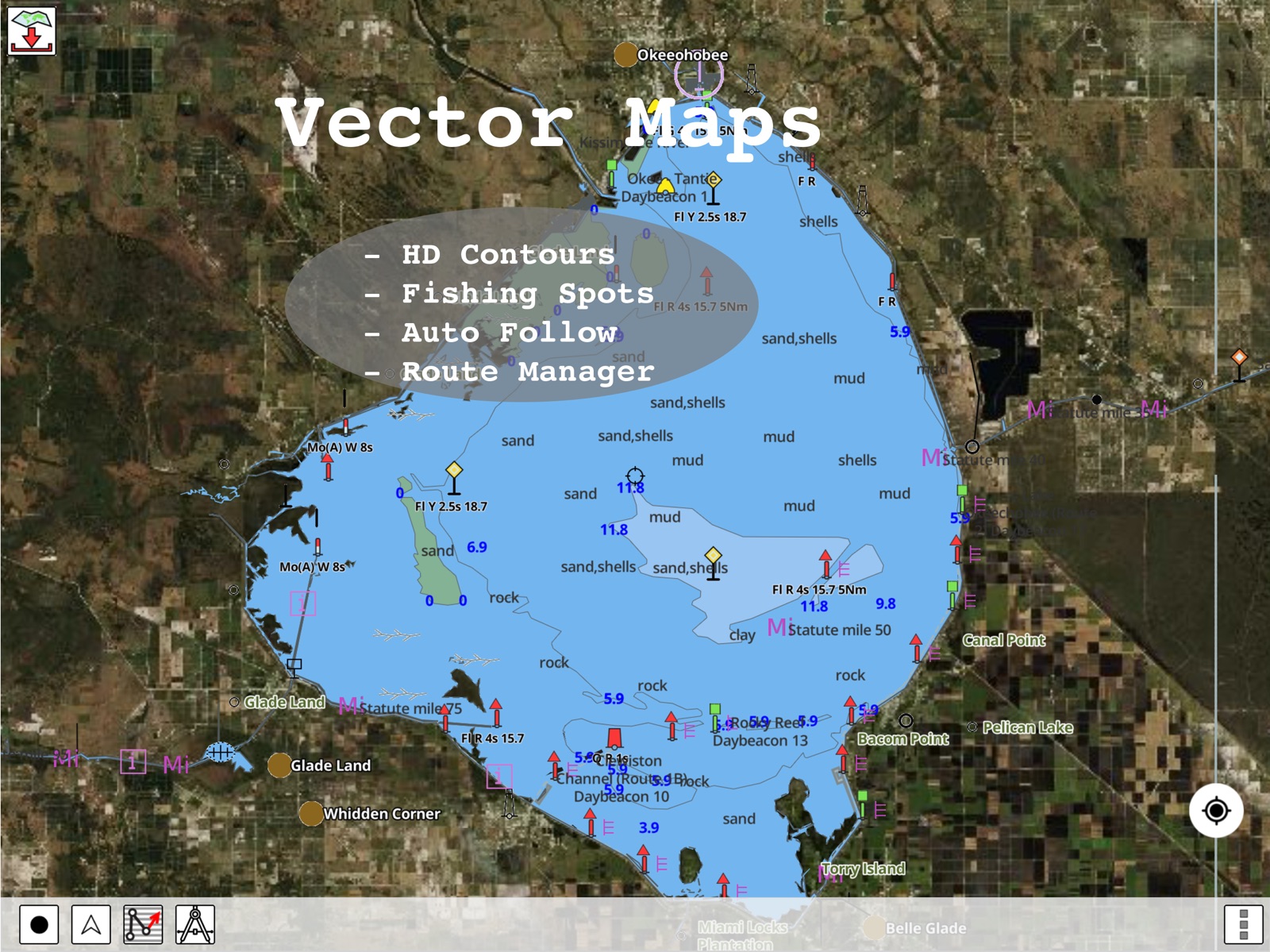
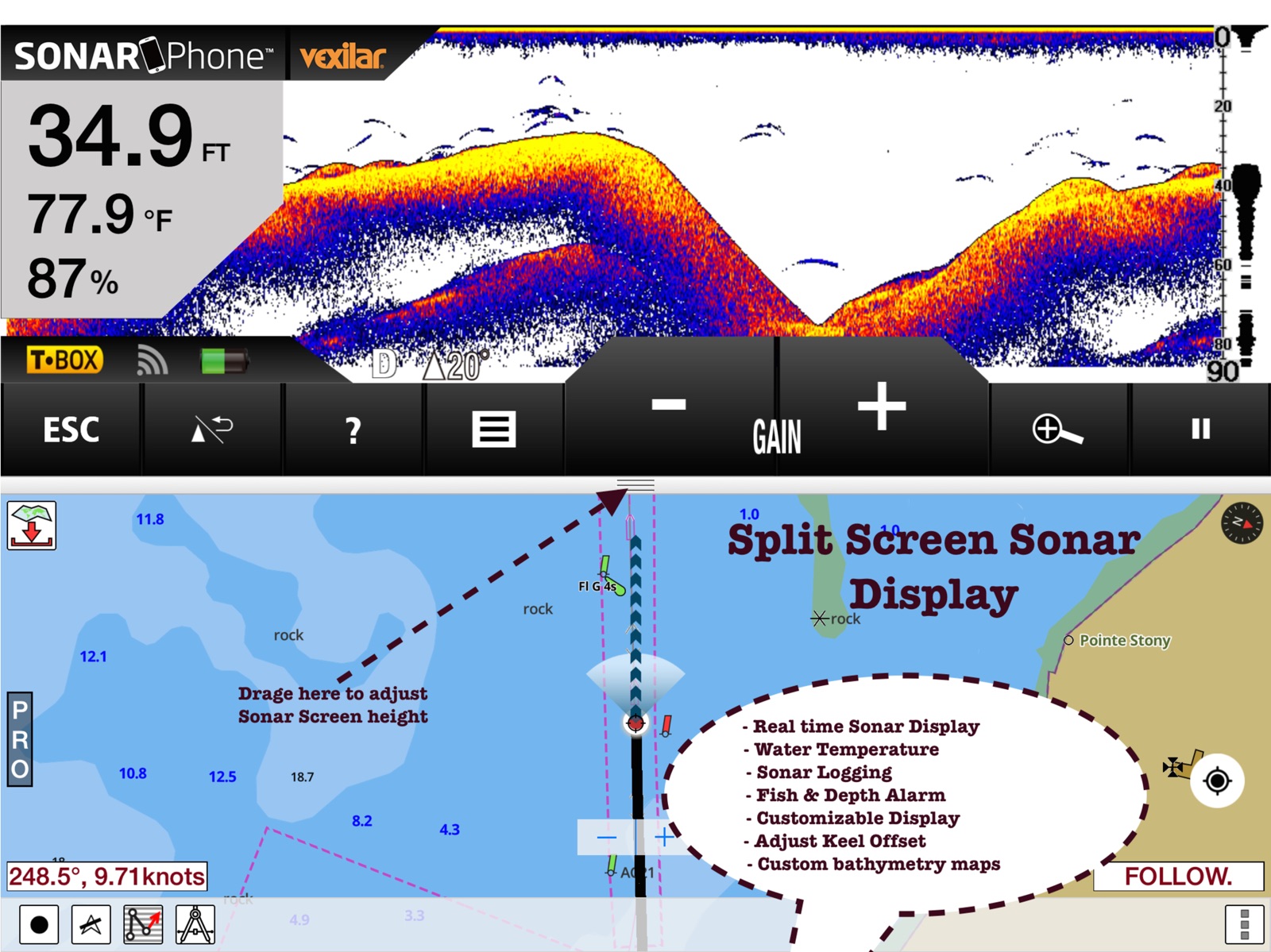
30 store screenshots


Pricing & paywalls
App Store
- Canada & USA - Marine Charts — $32.99
- USA - Fishing / Marine Charts — $19.99
- USA - Marine Charts — $19.99
- USA - Marine Charts / Fishing — $19.99
- USA - Marine Charts / Fishing — $20.99
- USA - Marine Charts / Fishing — $21.99
- USA - Marine Charts / Fishing — $23.99
- USA - Marine Charts / Fishing — $24.99
- USA - Marine Charts / Fishing — $29.99
Ratings & reviews
App Store
-
5/5Great
Have used this app for years now. Have used it to travel from Texas City Texas to New Bedford Mass. and In Between. I’m a commercial fisherman and I’m all the time traveling, fishing different areas, and it’s my go to app at all times. 99.5% of the time it is dead accurate and I have had to navigate solely using this in dead of night with no other means to see navigational aids or water depths after my electronics were knocked out by a storm. I came in just using the app and a compass, nothing more. Did so accurately and safely. Week later after repairs I retraced the track I had taken based on the app information and it was exact on time, course, and marker position of all aids, and water depth was within 1.0ft average of the area. Very impressed and highly recommend as a backup system or even a primary navigation aid for experienced mariners who need a compact application. I will say not all movable cans will be 100% accurate at all times. That’s why I say it’s 99.5% accurate overall but the recommended channel and route has always been marked accurately or well enough I haven’t been grounded. But, as usual, always use precautions and read addendums regularly in any new area. I can also add that I have been in 4 hurricanes since I’ve had this app and after each hurricane it marked locations of potential hazards such as sunk vessels, logs, debris, navigational hazards, etc. within hours of the storm. Good luck and safe boating.
ougotme · 30 Aug 2026
-
5/5Marine and lake GPS
I’ve used this marine charting program a few times on both the coast as well as inland lakes. It’s one of the few apps on my phone that includes excellent ENC charts for both offshore and inland navigation. Works very well with phones GPS even when outside of cellular coverage. Clearly shows where my boat is, how it got there and where it’s headed. I used to have this app as a backup to our onboard plotter. But I keep coming back to it since maps are more detailed and I am able to pull all the data from our boats NMEA network onto the app. Will post more updates as I investigate it’s more advanced toolset. Update: after 100s of miles and an year I find this app pretty reliable and useful. It keeps getting regular updates. Tide and currents plus wind overlay have been very useful. One thing I would recommend adding is support for auto routing. Aug21: Got an email from their tech support today to try out automatic routing in the application. Have been playing with it and it seems to work okay. I had to adjust the min depth to get the route I wanted. Definitely a good route planning aid. Edit: The latest update is very useful if you cruise the Tombigbee waterway. More detailed depths and more accurate. Tried hooking up this app today with our boats Ais transceiver over Wi-Fi. It worked well and showed all AIS targets around us.
jackthetallone · 30 Aug 2026
-
5/5Best Nav App I’ve Tried
I have a Garmin UHD Fish Finder / Chartplotter, but prefer to dedicate that to the sonar & use an iPad for navigation. I downloaded quite a few different apps to test their functionality and ease of use. I-Boating won easily. I’m fishing the lower Chesapeake Bay & coastal VA, and this app gives me all I need and then some. Very intuitive & simple to use, but highly detailed for navigation, routing, contours etc. That being said, there are a couple tweaks that would make it even better. First, the icons to identify waypoints or destinations are severely limited. I fish a lot of wrecks, but there’s no icon for wrecks or obstructions so I have to use the Fishing Reef icon for everything. Second, I sometimes use a different iPad or iPhone, and the data saved to one doesn’t transfer to the others. I thought maybe when I bought the US Maps it would remedy that but no luck. Last, in a perfect world you could draw/outline & identify a custom area. For instance I have a particular area of the York River that I like to drift over for flounder when the wind & tides are ideal. I wish I could circle that area & label it. But all in all still the best nav app I’ve seen.
BTP61 · 30 Aug 2026
-
5/5Easy boat navigation
I have been trying lots of apps to make boat navigation easier. This app meets a lot of my criteria. It’s very easy to set up for offline use. For just planning no set up is needed. Over the years I have accumulated tens of gpx files with 1000s of waypoints. I am glad that I was able to import all those files into the app. And the best part is that I didn’t have to create an account or jump through the hoops for that. I have these files as email attachments and the app was able to import them from there. Have been playing with automatic routing and it seems to work ok. Again I was able to select waypoints from existing files for routing. Still haven’t tried out the gps features. But from what I can tell it supports moving map and route follow. Will update once more I have tried out the gps. Update: I have tried out the GPS now. The phone gps is very precise and located me accurately. It clearly shows the path I’ve taken with a magenta line and a dotted line showing where I am headed. Also gave voice alerts when approaching a waypoint. Overall satisfied with GPS.
burchdavelikestofishoften · 30 Aug 2026
-
5/5Professional Level Navigation App
I have been using this app for nearly three years now for professional work on yachts and it has yet to fail me. As with all navigation, I strongly advise users have two different and independent devices running this same app. I, for example, use an iPad Air 2 and an iPhone 7, and for positioning information I use a Garmin GLO and a Bad Elf 2200 GPS signal receiver. The Garmin GLO has temporarily shut down in the past, so it is essential to have the other device running especially when operating in hazardous areas like busy channels, near shoals or barely submerged hazards such as wrecks or isolated rocks. The main improvement I would recommend to Bist LLC at this time would be to offer an in-app purchase cruising guide feature that would enable the user to access critical information about facilities (such as good phone numbers, radio channels etc) by virtue of simply touching the facility name on the current ECS. In the event of emergencies, be they weather or mechanical etc, it would be extremely useful to be able to immediately find the phone number or radio contact information for potential landing sites like marinas.
E. Lile (seconday device) · 30 Aug 2026
Privacy & accessibility
App Store
Privacy
- Data Not Collected Developer declared
Accessibility
- Dark Interface — SUPPORTED Store published
- Larger Text — SUPPORTED Store published
Versions
App Store
-
146.0.0
- New Lakes and Lake updates - Relief Shading Update for Eastern Canada - Compiled with latest version of Xcode - Improved compatibility with older devices
-
148.0.0
- New lakes and lake bathymetry and nav aid updates - Improvements in the backend algorithm that powers Fishing AI - Compiled with latest version of Xcode.
-
149.0.0
- More Improvements in the backend algorithm that powers Fishing AI - Lake depth / bathymetry updates for inland lakes as well as offshore - Relief Shading Improvements - Improved compatibility with older devices - Compiled with latest version of Xcode.
-
150.0.0
- Feature enhancements pertaining to sharing - Lake depth / bathymetry updates for inland lakes (MN, ON, WI as well as offshore - Relief Shading Improvements - Improved compatibility with older devices - Compiled with latest version of Xcode.
-
151.0.0
- Fishing AI improvements - Lake map updates for Wisconsin, New Jersey, Michigan, Ontario and Alberta - Compiled with latest version of Xcode
-
152.0.0
- In time for Christmas, Lake map updates for Ice Fishing - New lake depth maps covering UK (Rutland waters, Grafham etc) - Compiled with latest version of Xcode
-
153.0.0
- New feature: HIghlight depth range is now available under settings. - Midwest lake depth map updates - Michigan, Wisconsin, Minnesota, Illinois, Ohio, Indiana etc. - Compiled with latest version of Xcode.
-
154.0.0
- Tide & Current Improvements - Lake Depth Map updates - Marine Weather Forecast upgrades - Compiled with latest version of Xcode
-
155.0.0
- Fishing AI improvements - Lake depth map updates (Florida, Texas, Georgia, North Carolina) - Relief Shading improvements (West coast) - Compiled with latest version of Xcode
-
156.0.0
- Fishing AI under the hood improvements - Lake Depth Map Updates - Florida, Texas, Georgia, Alabama, North Carolina, Kentucky, Tennessee - Compiled with latest version of Xcode
-
157.0.0
- Fishing AI enhancements - AIS overlay improvements - Lake Depth Updates (California, Nevada, Oregon, Washington) - Compiled with latest version Xcode
-
158.0.0
- More updates in Fishing AI for the Jul 4 weekend - Lake Depth Updates (Ontario, Quebec, Minnesota, Wisconsin, Iowa, Idaho, Montana) - Compiled with latest version of Xcode
-
159.0.0
- Lake Depth Maps Updates (Maine, New Jersey, Massachusetts, New Hampshire) - Relief Shading Updates (US) - Compiled with latest version of Xcode
-
160.0.0
- Major Update: Relief Shading Scan updates - New Lake Depth Map: Ontario, Manitoba, North Carolina - Compiled with latest version of Xcode
-
161.0.0
- Updates for Appearance in different modes - New lakes covering Utah, Ontario and Texas - Compiled with latest version of Xcode
-
162.0.0
- Under the hood improvements for fishing AI and Satellite imagery. - New lakes and lake updates - MN, ON, QC, AB, NC - Compiled with latest version of Xcode
-
163.0.0
- Lake Map Updates - MN, WI, MI, IN - Wind/Wave - Weather Forecast changes - Compiled with latest version of Xcode
-
165.0.0
MAJOR UPDATE: - Find if the shoreline is accessible via private/public land - Public Private Land Ownership Data Map Overlay - US coverage for property lines - Dynamic highlighting of property line
-
166.0.0
- Lake Depth Map Updates (Mid West States - IN, IL, WI, MN) - Public Private Overlay Improvements - Compiled with latest version of Xcode
-
167.0.0
- Lake Map Updates - MN, WI, ON - Updates for public private ownership overlay - Compiled with latest version of Xcode
-
168.0.0
- Under the hood updates for Fishing AI - Lake Maps updates for Midwest, Ontario and QC - Compiled with latest version of Xcode
-
169.0.0
- Fishing AI updates for 2026 fishing season - Lake Depth Map Updates - PA, MA, ON - Compiled with latest version of Xcode
-
171.0.0
- Relief Shading Updates - New lakes and lake map updates covering MN, IN, KY, TN, OR and QC - Compiled with latest version of Xcode
-
172.0.0
MAJOR UPDATE: - Lake depth maps update for memorial day weekend - MN, MI, WI, IN, OK, KY, TN, FL, GA,CA - i-Boating Cloud Sync Support: Sync waypoints, routes and tracks - Compiled with latest version of Xcode
-
173.0.0
· 3 Jun 2026
- Under the hood changes for Fishing AI - Sync user data improvements - Lake depth map updates - ON, QC, AB - Compiled with latest version of Xcode
-
174.0.0
- Sonar/Hi-Res Bathymetry option under Layers - Vector rendering updates - New Lakes (Ontario, Oklahoma, Minnesota) - Compiled with the latest version of Xcode
-
175.0.0
- Lake Maps Updates - AB, CA, OR, FL, AL - Hi-Res/Sonar Bathymetry for Coast - Compiled with the latest version of Xcode
-
176.0.0
· 19 Aug 2026
MAJOR UPDATE: - Hi-Res/Sonar Bathy Layer is now available under Layers - Compiled with latest version of Xcode
Alternatives
- iNavX: Marine Navigation — Same category + similar ratings
- Navionics® Boating — Same category + similar ratings
- Aqua Map Boating — Same category + similar ratings
- Argo Navigation: Boat GPS, Map — Same category + similar ratings
- Savvy Navvy: Boat Navigation — Same category + similar ratings
- Wavve Boating: GPS, Map, Chart — Same category + similar ratings
Availability by market
- US
Data quality & evidence
- Page completeness
- Live store listing
- Last verified
- 30 Aug 2026
- Sources
- App Store
- Independent summary has not been published yet.